

About Neosense
About Neosense
A Partner You Can Rely On
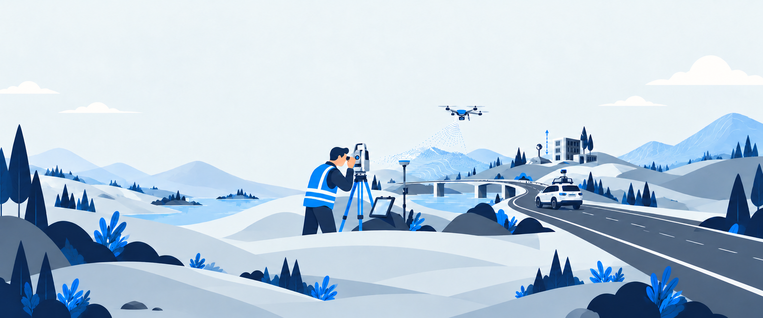
NeoSense Geomatics Consulting is a Canadian-based company providing innovative geomatics solutions across industries including Construction, Utilities, Oil & Gas, Mining, and Land Developement.
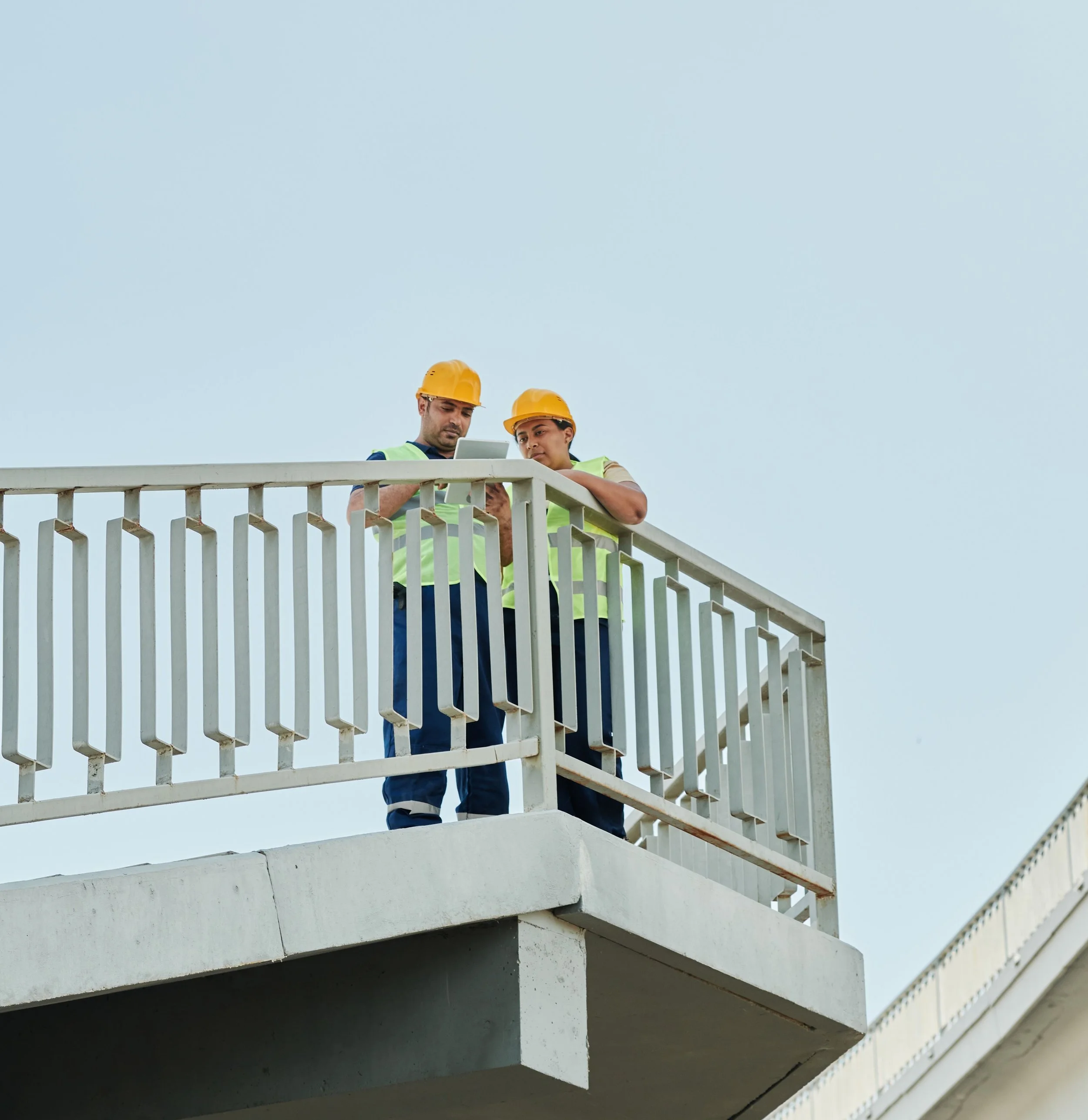
Our experienced and dedicated team brings together over 40 years of combined geomatics experience, supported by advanced-certified drone pilots and skilled GIS and CAD specialists.
Our expertise spans field surveying, aerial data collection, mapping, and digital design, allowing us to deliver accurate, practical, and technology-driven solutions from the field to the final deliverable.
Our Team
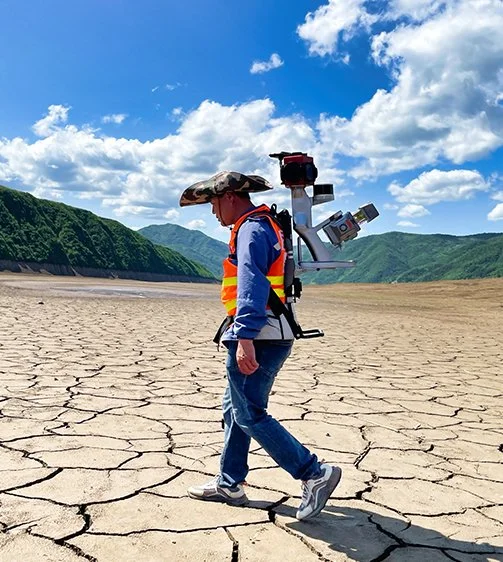
We use modern technology and proven methods to deliver accurate and efficient solutions. Our capabilities include advanced positioning systems for surveying and topographic work, terrestrial and aerial scanning for indoor and outdoor mapping, inspection, and digital twin solutions, as well as high-resolution imaging for photogrammetric applications.
We also use industry-leading software for positioning, scanning, photogrammetry, visualization, GIS, CAD, and hydrographic surveying, supporting projects from data collection through processing, analysis, and final delivery.
At every stage, we remain focused on delivering efficient, accurate, and dependable results for our clients.
Technoloogy
Every project starts with understanding the ground beneath it and the people behind it
What We Stand For
We believe great work starts with strong relationships. We take the time to understand our clients, their projects, and what success looks like to them.
Personal by Nature
Accuracy matters, but so does what you do with it. We focus on delivering reliable information that helps our clients move forward with confidence.
Precision with Purpose
We’re proud to be locally based, but our work isn’t limited by geography. We bring the same commitment and personal service wherever the project takes us.