Services
Services
Built to Capture what Matters
Every project is different. We combine proven surveying methods with modern mapping and reality-capture technologies to collect the right data, in the right way, for the job at hand.
From the ground, air, road, or water, our services provide the accurate spatial information and clear deliverables needed to plan, design, build, inspect, and manage with confidence.
Mobile Mapping
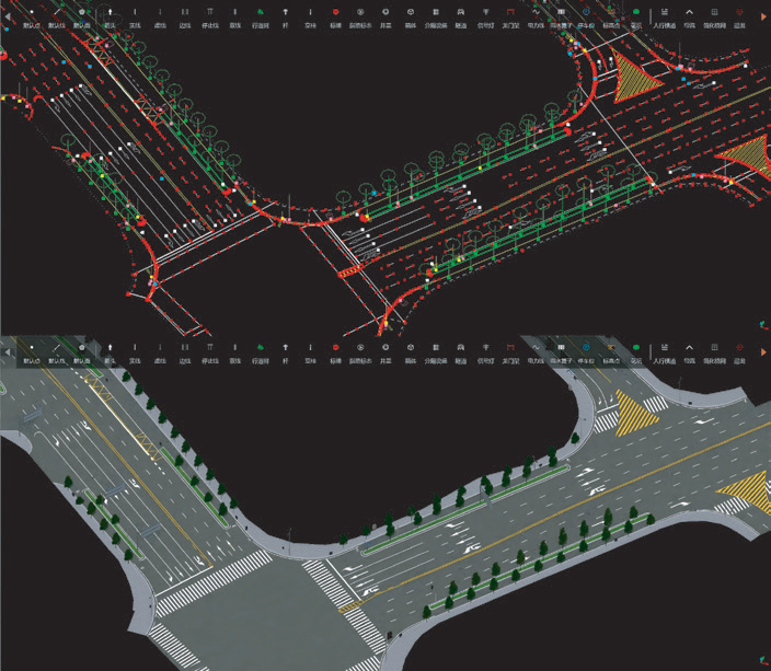
Capture large areas and transportation corridors efficiently with mobile mapping. By collecting LiDAR, imagery, and positioning data while in motion, we can create detailed georeferenced point clouds, maps, and 3D representations for infrastructure, asset management, design, and inspection.
Drone Mapping
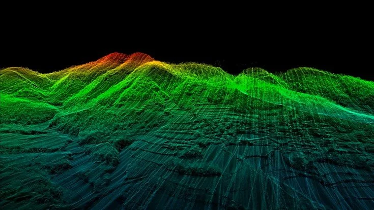
Drone-based mapping provides a fast and efficient way to capture detailed information across large, complex, or difficult-to-access areas. Using aerial LiDAR and photogrammetry, we produce high-resolution imagery, point clouds, terrain models, 3D models, and other geospatial deliverables tailored to the project.
Terrestrial Laser Scanning
Terrestrial laser scanning captures highly detailed 3D measurements of buildings, structures, sites, and surrounding environments. The resulting point clouds can support as-built documentation, dimensional analysis, inspection, design, monitoring, and digital twin applications.
Handheld & Wearable Scanning
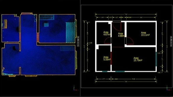
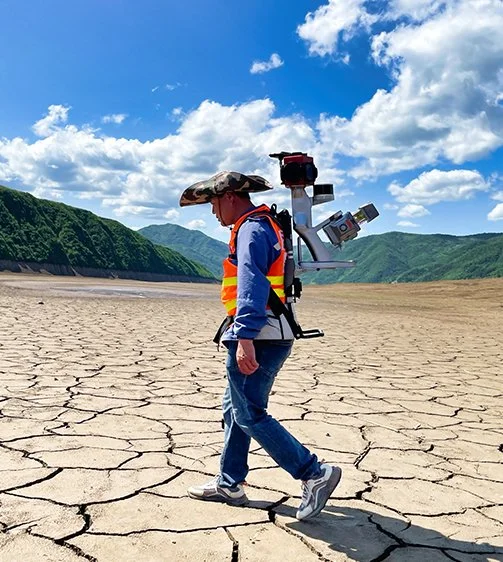
Handheld and wearable scanning allows detailed 3D data to be captured while moving through a space, making it well suited for indoor, complex, confined, or difficult-to-access environments. It provides an efficient way to document existing conditions and create detailed digital representations of physical spaces.
Marine Platforms
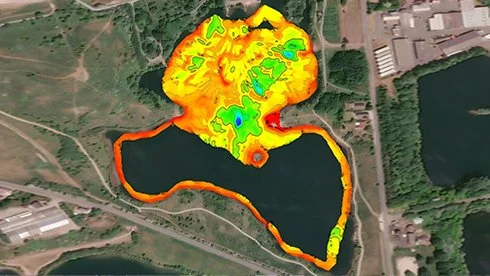
Our marine mapping capabilities extend geomatics data collection onto the water. Marine platforms support hydrographic and bathymetric surveying, providing information about underwater terrain, depths, shorelines, and infrastructure for planning, inspection, monitoring, and design.
Field Surveying
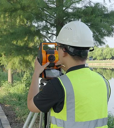
Our field surveying services combine established surveying practices with modern positioning technology to provide accurate measurements and reliable project control. Applications include topographic surveys, control surveys, construction layout, as-built surveys, and other field measurement requirements.
Consulting & Training
We help organizations make better use of geomatics technologies, data, and workflows. Our consultation and training services can support project planning, technology selection, data collection strategies, processing workflows, and practical knowledge transfer tailored to your team's needs.